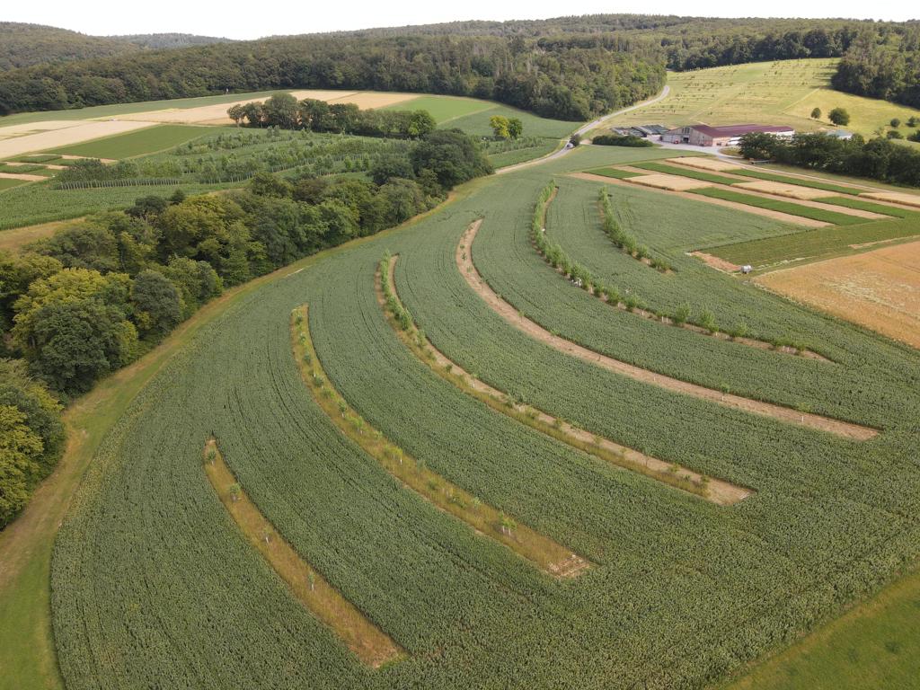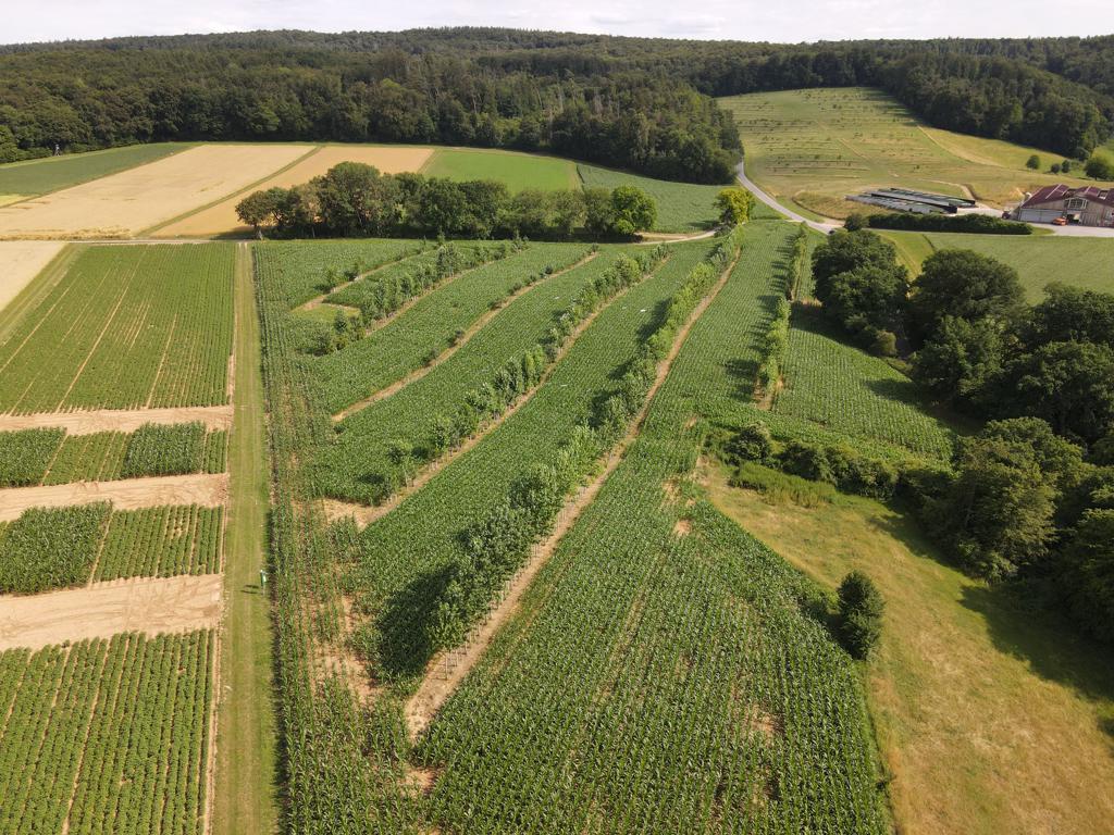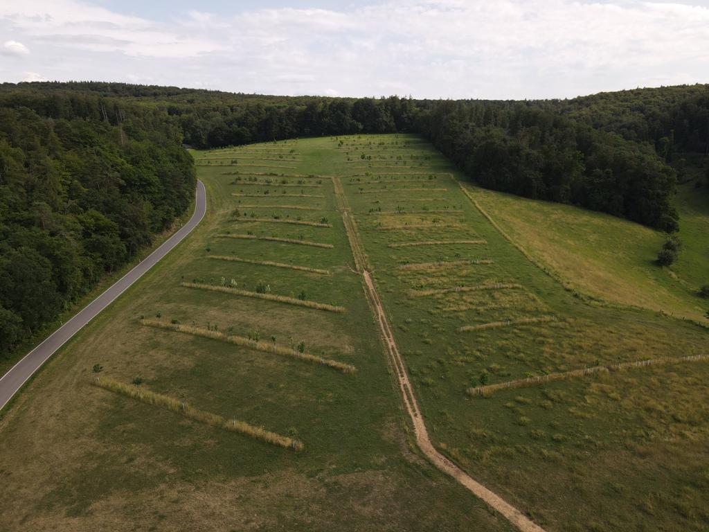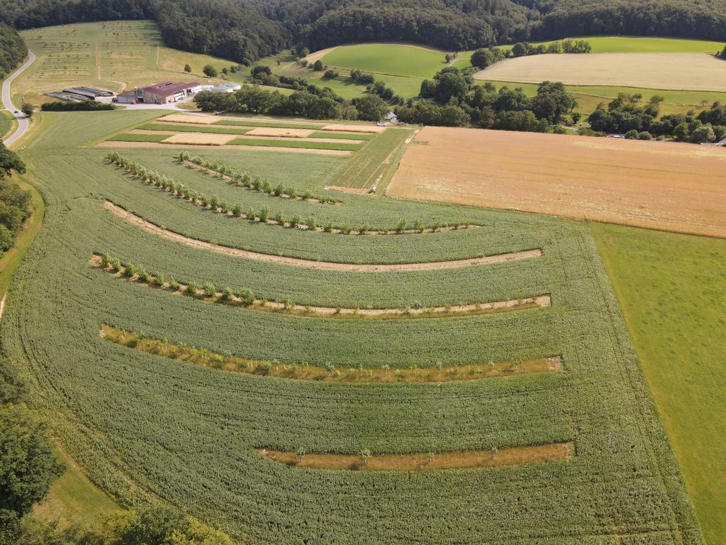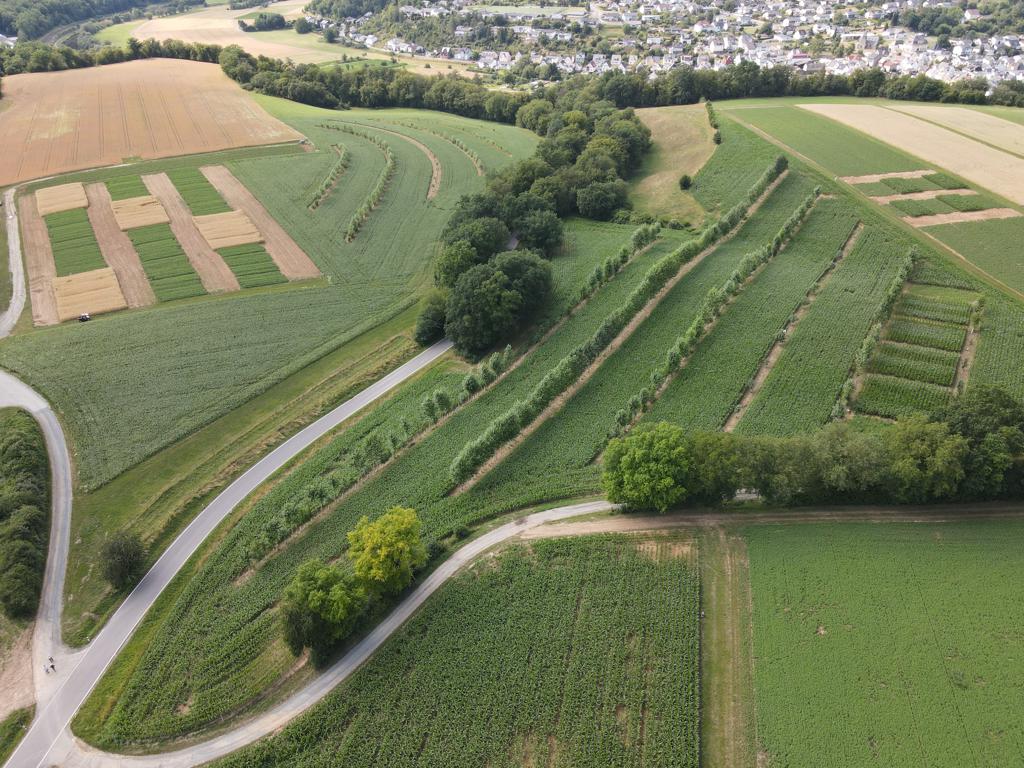
On 29 and 30 June, the AFaktive team was hard at work in Hesse, carrying out the measurement campaign at the ‘Gladbacherhof’ agroforestry site. The following manual measurements were taken:
• Infiltration using a double-ring infiltrometer;
• Saturated conductivity measured using the Permeameter 3;
• Soil compaction measured using the Penetrologger;
• Soil samples taken using the Pürkhauer to determine texture for the infiltration module.
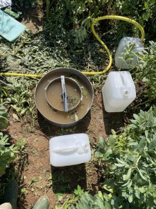
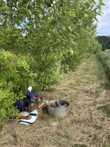
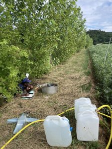
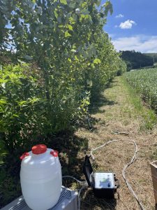
The results of these and other measurements taken at the project sites provide researchers with important insights into the influence of tree strips on soil hydrological properties such as infiltration capacity, hydraulic conductivity and soil compaction. The cross-site analysis of the collected data helps to better understand the impact of agroforestry systems on water uptake, distribution and storage in the soil, and thus to assess their influence on the water balance of the agricultural landscape.
As a nature-based solution, agroforestry can, for example, increase water retention in an area and mitigate soil erosion. The manual measurements help to quantify these relations.
Furthermore, the data will contribute to the further development of the surface runoff simulation software HydroAS – an important tool for decision-makers. The tool calculates ponding depth and flow velocities for the simulated areas and uses an animation to display the results. This is especially useful for the communication with stakeholders, as it provides an immediate visual representation of the effects of agroforestry systems.
The following animations show water runoff during rainfall at the ‘Gladbacherhof’ site. These are the initial simulations. Further simulations incorporating the data collected from the agroforestry system are planned.